Today in Moussages, warning: strong gusts.
Temperatures will vary between 5 and 7°C with values close to normal.
The reliability of the situation is relatively good.
3:00 to 6:00
5°Feels Like 2°due to the wind
Gusts 35 km/hS 15 km/h
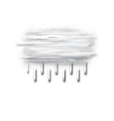
Cloud veils.
No precipitation.
No risk of rain
This morning
5°Feels Like 2°due to the wind
Gusts 50 km/hS 25 km/h
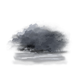
Very cloudy sky turning overcast.
Drizzle starting to fall at the end of the morning.
Risk of rain
60 %
UV index1Low
This afternoon
6°Feels Like 2°due to the wind
Gusts 50 km/hSW 25 km/h
Overcast sky.
Rain followed by showers.
Risk of rain
90 %
UV index0Low
This evening
5°Feels Like 2°due to the wind
Gusts 45 km/hW 20 km/h
Overcast and misty. Limited visibility.
A few light showers.
Risk of rain
85 %
Night
3°Feels Like 3°
Gusts 20 km/hCalm
Fog, giving way to low cloud.
Slight risk of showers.
Risk of rain
25 %
Share
CLIMATE info
Rain
+75%
normal
More rain than normal
Water restriction: No restrictions
Temperature
0°C
normal
Temperature near normal
Normal temperature : 6°C
Average, today :
6°C
One year ago : 5°C