This afternoon in Grancey-le-Château, warning: winds gusting strongly.
Temperatures will vary between -2 and 0°C.
The reliability of the situation is good.
15:00 to 18:00
0°Feels Like -5°due to the wind
Gusts 50 km/hE 25 km/h
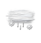
Overcast and misty. Limited visibility.
Drizzle mixed with sleet.
Risk of snow
95 %
UV index0Low
Fresh snow9 cm
This evening
-1°Feels Like -6°due to the wind
Gusts 55 km/hNE 25 km/h
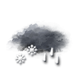
Overcast sky.
Rain followed by snow.
Risk of rain
95 %
Fresh snow21 cm
Night
-4°Feels Like -6°due to the wind
Gusts 45 km/hNW 20 km/h
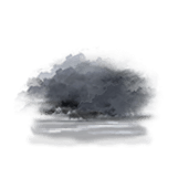
High humidity: cloudy with a risk of fog.
Risk of snow showers.
Risk of snow
40 %
Share
CLIMATE info
Rain
+30%
normal
More rain than normal
Water restriction: No restrictions
Temperature
-5°C
normal
Colder than normal
Normal temperature : 4°C
Average, today :
-1°C
One year ago : 7°C