Today in Col du Glandon, warning:reduced visibility in the afternoon.
Temperatures will vary between 0 and 2°C.
The reliability of the situation is relatively good.
3:00 to 6:00
0°Feels Like 0°
Gusts 10 km/hCalm
Clear periods, but with a risk of mist forming.
No precipitation.
Risk of snow
25 %
This morning
0°Feels Like 0°
Gusts 10 km/hCalm
Overcast and misty. Limited visibility.
Snow showers clearing later.
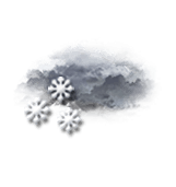
Risk of snow
55 %
UV index1Low
This afternoon
2°Feels Like 4°
Gusts 15 km/hCalm
High humidity: cloudy with a risk of fog.
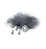
Sleet showers.
Risk of rain
75 %
UV index1Low
This evening
-1°Feels Like -2°
Gusts 15 km/hCalm
Clear periods, but with a risk of mist forming.
Warning: conditions favourable to black ice.
Risk of snow
20 %
Night
-4°Feels Like -5°
Gusts 15 km/hSW 10 km/h
Good weather with few clouds.
Warning: conditions favourable to black ice.
No risk of rain
Share
CLIMATE info
Rain
+70%
normal
More rain than normal
Water restriction: No restrictions
Temperature
+3°C
normal
Warmer than normal
Normal temperature : -2°C
Average, today :
1°C
One year ago : -5°C