This afternoon in Mont-Serein, warning: winds gusting strongly.
Temperatures will vary between 4 and 6°C.
The reliability of the situation is relatively good.
This afternoon
6°Feels Like 3°due to the wind
Gusts 60 km/hSE 20 km/h
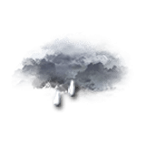
Very cloudy sky turning overcast.
Light rain at the end of the afternoon.
Risk of rain
75 %
UV index1Low
Freezing level 0°
2100 m
Snow-rain limit
1800 m
Fresh snow
0 cm
This evening
5°Feels Like 3°due to the wind
Gusts 50 km/hSE 20 km/h
Overcast sky.
Light rain.
Risk of rain
70 %
Freezing level 0°
2050 m
Snow-rain limit
1750 m
Fresh snow
0 cm
Night
4°Feels Like 4°
Gusts 25 km/hCalm
Overcast sky.
Light rain.
Risk of rain
70 %
Freezing level 0°
2050 m
Snow-rain limit
1750 m
Fresh snow
0 cm
Share
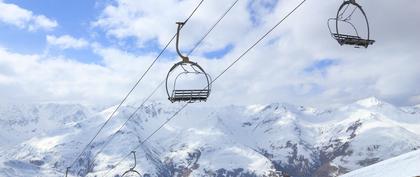
Station Info
open
Mont-Serein
Avalanche Risk
N.C.
Snow
10 cm
at the top
(1912m)
N.C.
down
(1400m)
Snowfall
13 days ago : 5 cm 1 month ago : 2 cm
Track Info
Lifts
7/8
Snow Parks
N.C.
Nordic ski
N.C.
Back skiing
N.C.
Tracks
with
CLIMATE info
Rain
-60%
normal
Less rain than normal
Water restriction: No restrictions
Temperature
+4°C
normal
Warmer than normal
Normal temperature : 1°C
Average, today :
5°C
One year ago : 7°C