Today in La Tzoumaz, the sky will remain very cloudy.
Temperatures will vary between -2 and 6°C, it will be cold in the morning.
The reliability of the situation is very good.
Tonight
1°Feels Like 0°
Gusts 15 km/hS 10 km/h
Very cloudy to overcast sky.
Warning: conditions favourable to black ice.
No risk of rain
Freezing level 0°
1950 m
Snow-rain limit
1650 m
Snow expected
0 cm
This morning
-2°Feels Like -2°
Gusts 20 km/hCalm
Very cloudy sky turning overcast.
No precipitation.
No risk of rain
UV index3Moderate
Freezing level 0°
1950 m
Snow-rain limit
1650 m
Snow expected
0 cm
This afternoon
6°Feels Like 9°due to the sun
Gusts 25 km/hCalm
Overcast sky.
No precipitation.
No risk of rain
UV index3Moderate
Freezing level 0°
2100 m
Snow-rain limit
1800 m
Snow expected
0 cm
This evening
2°Feels Like 1°
Gusts 25 km/hCalm
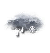
Overcast sky.
Light sleet.
Risk of rain
80 %
Freezing level 0°
1800 m
Snow-rain limit
1500 m
Snow expected
0 cm
Night
0°Feels Like -1°
Gusts 20 km/hCalm
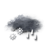
Overcast and misty. Limited visibility.
Light rain followed by snow.
Risk of rain
90 %
Snow expected1.5 cm
Freezing level 0°
1600 m
Snow-rain limit
1300 m
Snow expected
1.5 cm
Share
Station Info
open
La Tzoumaz
Avalanche Risk
N.C.
Snow
143 cm
at the top
(2354m)
40 cm
down
(1500m)
Snowfall
10 days ago : 1 cm 18 days ago : 3 cm 19 days ago : 20 cm