Today in Waterville Valley, atmosphere unsettled, cold and unstable.
Temperatures will vary between 1 and 3°C, it will be cold.
The reliability of the situation is good.
Tonight
3°Feels Like 2°
Gusts 20 km/hCalm
Unsettled weather becoming very cloudy.
No precipitation.
No risk of rain
Freezing level 0°
2800 m
Snow-rain limit
2500 m
Snow expected
0 cm
This morning
1°Feels Like -1°due to the wind
Gusts 40 km/hE 10 km/h
Overcast and misty. Limited visibility.
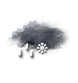
Sleet showers.
Risk of snow
50 %
UV index1Low
Freezing level 0°
900 m
Snow-rain limit
600 m
Snow expected
0 cm
This afternoon
1°Feels Like 0°
Gusts 40 km/hSE 10 km/h
Overcast and misty. Limited visibility.
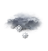
Snow showers clearing later.
Risk of snow
55 %
UV index1Low
Freezing level 0°
850 m
Snow-rain limit
550 m
Snow expected
0 cm
This evening
2°Feels Like 1°
Gusts 35 km/hSE 10 km/h
Overcast and misty. Limited visibility.
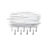
Persistent drizzle.
Risk of rain
60 %
Freezing level 0°
3350 m
Snow-rain limit
3050 m
Snow expected
0 cm
Night
7°Feels Like 6°
Gusts 30 km/hCalm
Overcast and misty. Limited visibility.
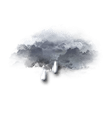
Drizzle becoming heavier and forming rain.
Risk of rain
75 %
Freezing level 0°
3300 m
Snow-rain limit
3000 m
Snow expected
0 cm
Share
Station Info
open
Waterville Valley
Avalanche Risk
N.C.
Snow
76 cm
at the top
(1220m)
50 cm
down
(605m)
Snowfall
5 days ago : 5.08 cm 7 days ago : 15 cm 12 days ago : 3 cm